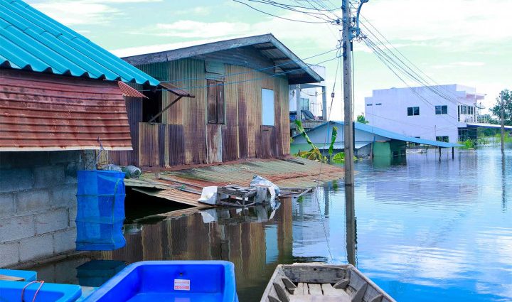
More than 3 million rai of farmland and residential areas in 25 provinces along 11 major river basins are flooded, with Nakhon Sawan the worst hit, satellite data shows.
The Geo-Informatics and Space Technology Development Agency (Gistda) said on Wednesday that images from Sentinel-1 acquired on Oct 4 showed flooded areas in parts of the Yom, Nan, Sakae Krang, Tha chin, Chao Phraya, Pasak, Bang Pakong, Prachin, Mekong, Chi and Mun river basins.
This showed 3,289,154 rai of farmland and residential areas in 25 provinces in the lower North, the Central Plains, the Northeast and the East along the 11 river basins were inundated.
Nakhon Sawan had the most flooded area with 650,967 rai, followed by Ayutthaya with 430,745 rai, Phichit 402,083 rai, Suphan Buri 356,651 rai, Sukhothai 269,629 rai, Phitsanulok 259,001 rai, Kampaeng Phet 150,680 rai, Lop Buri 147,454 rai, Phetchabun 117,480 rai, Uthai Thani 100,707 rai, Ang Thong 74,244 rai, Prachin Buri 70,367 rai, Chai Nat 56,117 rai, Sing Buri 48,804 rai, Saraburi 44,535 rai, Uttharadit 41,854 rai, Nakhon Pathom 23,972 rai, Nakhon Nayok 16,680 rai, Chaiyaphum 12,627 rai, Chachoengsao 6,875 rai, Loei 5,612 rai, Khon Kaen 606 rai, Nakhon Ratchasima 328 rai, Pathum Thani 309 rai and Nong Bua Lamphu 287 rai.
Of the affected areas, paddy fields accounted for 526,577 rai. The remaining areas were low-lying agricultural land along major rivers and their tributaries, residential areas and sections of transport routes.
Gistda said it had sent its satellite data to major agencies responsible for flood management, for use in planning, monitoring and evacuating the situation.

Chum Phuang police station in Chum Phuang district of Nakhon Ratchasima and surrounding areas are flooded. (Photo: Prasit Tangprasert)

Flooded areas in 25 provinces along 11 major river basins. (Photo: gistda.or.th)

