Dr Renard Siew, climate change adviser to the Centre for Governance and Political Studies (Cent-GPS), echoed similar sentiments. He stressed that Johor authorities need to ensure that drainage systems along rivers are “maintained and managed properly”.
He added that authorities must control the levels of deforestation and industrial activities in flood-prone areas, especially along rivers.
“Factors like land use planning and zoning need to be regulated. So (this involves) limiting massive construction work and development in flood-prone areas as these would only worsen the situation over time,” added Dr Siew. Cent-GPS is a Kuala Lumpur-based political science and social behaviourial research firm.
Meanwhile, the founder of the Association of Protection of Natural Heritage of Malaysia Shariffa Sabrina Syed Akil pinpointed “rampant overdevelopment” and “excessive deforestation” as the causes of the recent Johor floods.
“If you look at the amount of rainfall in Johor and the amount of rainfall in Singapore, they are largely the same. But why is Singapore not flooded?,” said Mdm Shariffa Sabrina.
“It’s perhaps due to poor drainage system and deforestation, leading to lack of trees to absorb the water,” she added.
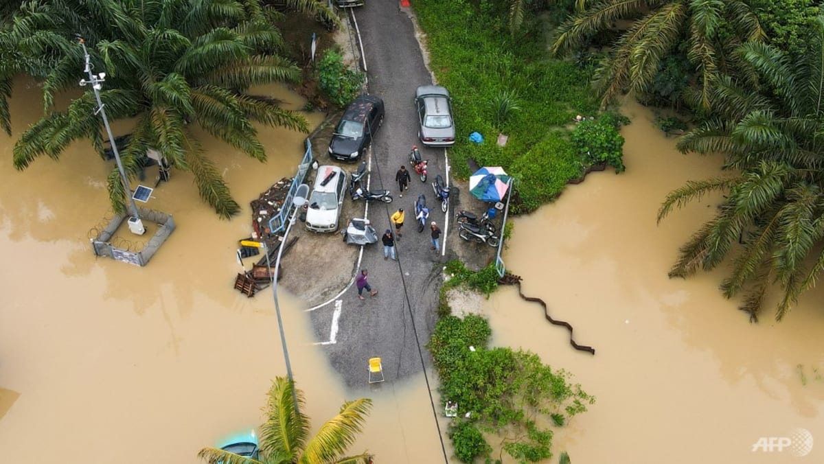
On Monday, Johor chief minister Onn Hafiz Ghazi warned that in spite of good weather, residents of Batu Pahat needed to be wary as river water from Segamat was flowing south and causing water levels to rise in some areas.
Batu Pahat is the worst-hit district in Johor, with more than 27,000 people displaced.
Mr Ling Tian Soon, state assemblyman for Yong Peng, told CNA on Monday that a key reason why many areas of Batu Pahat were flooded was because of overflow from the Bekok River.

