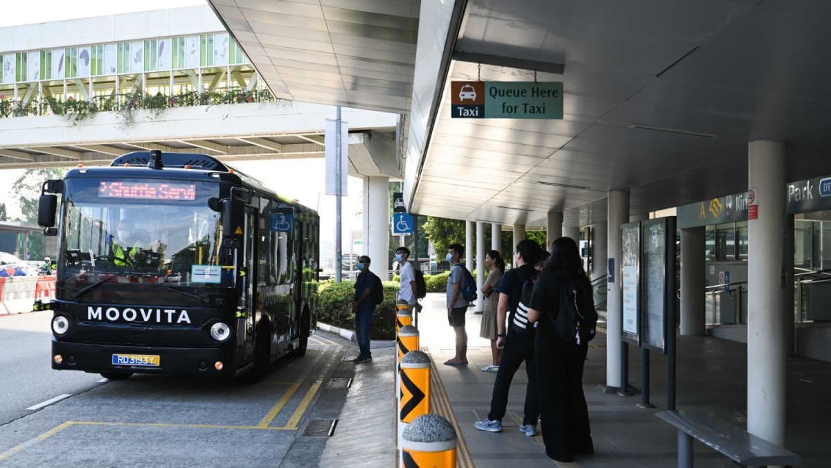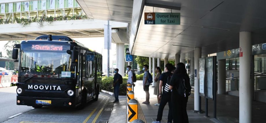
16 SENSORS, 360-DEGREE VIEW
Long before it started deploying the MooBus this month, MooVita drove the autonomous vehicle around the campus with sensors collecting data to create a high-definition map for its navigation route.
Such maps “provide detailed and valuable information on the surrounding objects — traffic lanes, pedestrian crossings, kerb locations and heights, speed limits, et cetera”, said Neo Boon Kee, deputy director of the polytechnic’s School of Engineering.
These maps also “act as a verification system that confirms what sensors are seeing”.
To achieve a 360-degree view of its surroundings, the MooBus depends on 16 sensors. Its radars, for example, can sense objects at distances of 80 metres and beyond, cited Limbu.
When the vehicle gets nearer an object, its cameras and its light detection and ranging sensors come into play to classify the object and the distance.
Last month, the MooBus passed the LTA’s Milestone 1 test, a milestone that allows an autonomous vehicle to go on public roads in selected areas with a safety operator on board.
In the case of this minibus, the operator must drive it manually on Clementi Road and Bukit Timah Road, as per the LTA’s geographical restrictions on where the vehicle can operate autonomously, which is only within campus.

