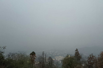
Hotspot numbers in area hit record high

Hazardous levels of the ultra-fine PM2.5 dust were once again reported across the North and upper Northeast on Monday.
Private sector and civil society networks in Chiang Rai urged the government to declare a state of emergency until the haze subsides.
In Chiang Rai’s Mae Sai district, PM2.5 levels peaked at 550 microgrammes per cubic metre, over 10 times the safe exposure threshold of 50µg/m³ set by the Pollution Control Department.
As of Monday, the district had reported unhealthy PM2.5 levels for 44 consecutive days. As a result, the private sector and groups representing local residents on Monday called on the government to declare a state of emergency in the area, in order to facilitate the mobilisation of resources to deal with the problem.
The groups urged Chiang Rai governor and all relevant agencies to cooperate with their counterparts in neighbouring provinces to stop the illegal burning of agricultural waste, which they said is to blame for the severe, seasonal drop in air quality.
In the longer run, the government should sit down with all stakeholders concerned to seek out ways to reduce the burning of farm waste and tackle the region’s worsening air pollution problem, which requires cross-border cooperation to address.
In response to the lingering haze, Mae Sai Hospital has set up a clinic for people with respiratory complaints.
Mae Fah Luang University, meanwhile, has suspended on-site classes until Wednesday.
According to the government’s air quality monitoring centres, PM2.5 levels exceeded the acceptable threshold for exposure in Chiang Rai, Chiang Mai, Nan, Mae Hong Son, Phayao, Lamphun, Lampang, Phrae, Uttaradit, Sukhothai, Phitsanulok, Tak, Kamphaeng Phet, Phetchabun, Uthai Thani, Bung Kan, Nong Khai, Loei, Udon Thani, Nakhon Phanom, Nong Bua Lam Phu, Chaiyaphum and Ubon Ratchathani.
The average PM2.5 levels in other regions remained well within the safe threshold. In Bangkok and its surrounding provinces, PM2.5 levels averaged between 13-39 µg/m³ on Monday.
Separately, the Geo-Informatics and Space Technology Development Agency (Gistda) said on Monday 5,572 hotspots were detected in Thailand on Sunday, the highest in five years.
Almost 3,000 hotspots, as shown by Suomi NPP satellite images, were found in reserved forest areas. Nan recorded the highest number of hotspots at 638, followed by Mae Hong Son (558) and Uttradit (430).
Myanmar recorded the most hotspots in the region at 10,563, followed by Laos with 9,652, according to Gistda.
Col Worachak Topin, head of the Third Region Army’s centre for wildfire prevention and resolution, said the army is working with a number of organisations to monitor and battle wildfires across 17 provinces in the North. The ad hoc centre will be operating until May this year.
The army is supplying the centre with Mil Mi-17 military helicopters, which are being flown along the Department of Disaster Prevention and Mitigation’s Kamov Ka-32 helicopters in wildfire extinguishing operations, said Col Worachak.
More than 400,000 litres of water had been transported by these helicopters.
The air force’s DA-42 drones have so far this year detected up to 44,000 hotspots, he said.
The number of hotspots varies from year to year, depending on weather conditions. Last year, only 15,000 hotspots were detected in the North last year, but the year before that, as many as 55,000 hotspots were found.
Aside from supplying fire-extinguishing helicopters, the army has also deployed troops to help contain the fires by creating firebreaks, he said.


