
On top of user interface changes, routes are also constantly being updated and optimised, he said. New information such as route elevation has also been added.
Feedback from cyclists as well as the authorities is extremely helpful, he said.
“How successful were they in the route? How close was our expected time of arrival to what we promised?
“More and more cities around the world – and Singapore is a great example – are investing in more safe cycling routes. We have a role we can play with the public officials as they’re trying to encourage more cycling.”
Mr Phillips is keen to point out that Maps is not only a navigation tool for drivers.
“We do way more than driving directions … We have great walking directions and great cycling (directions),” he said.
“What’s been really nice about all these sustainability features is the governments and the public authorities wanting to work with us. It’s great, because we really do need it to be a partnership for it to be successful,” he added.
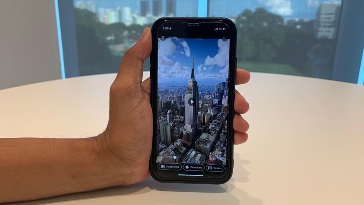
IMMERSIVE EXPERIENCE
Looking ahead, Maps aims to provide a more immersive experience for users, said Mr Phillips.
Earlier this year, Google announced that “immersive view”, which allows users to see multi-dimensional views of an area with information like the weather, traffic and busyness layered on top, will be rolled out soon to Maps. More recently, Maps also launched 250 photorealistic aerial views of global landmarks.
“We’re putting together satellite imagery, aerial imagery, street view imagery combined with user photos, and we’re fusing it together to build like a photorealistic view of what a place is like,” said Mr Phillips.