NEW DELHI: India’s new triangular parliament building – set alongside the old circular, colonnaded structure of British colonial rule – symbolises its efforts to build a country free from the trappings of past foreign domination.
But its inauguration has not been straightforward. Indian Prime Minister Narendra Modi carried a gold sceptre as he presided over the opening last month in the company of Hindu holy men.
This gave fuel to his opponents, who repeated longstanding claims that he was fraying India’s secular constitutional democracy and argued that President Droupadi Murmu, the head of state, should have been allowed to open the building. Opposition parties boycotted the ceremony and the Indian National Congress’s Rahul Gandhi, Modi’s chief nemesis, dismissed it as a “coronation”.
A FRESH STIR
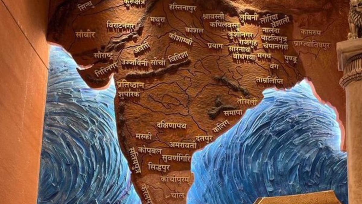
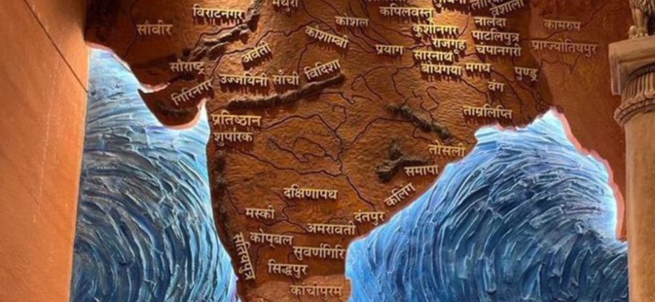
Even after that controversy died down, a three-dimensional map on a mural inside the new building has caused a fresh stir.
The mural features a backlit outline of the subcontinent without any of its present-day borders, stretching west to Pakistan and Afghanistan and east as far as Myanmar. The names are archaic and some of the cities labelled are in other countries, including Purushpur, the Sanskrit name for Peshawar, Pakistan.
Officials and opposition politicians in Pakistan, Nepal and most recently Bangladesh have voiced concerns.

