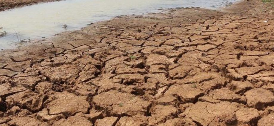
Summer is expected to end by the middle of next month, while the impact of El Niño, including drought, is predicted to take its toll on Thailand by around the middle of June, the Meteorological Department (MD) said on Friday.
Although the maximum temperature had previously been forecast to peak at 43C this summer, the highest temperatures are now expected to continue at around 40C for the rest of the summer, said Somkhwan Tanchan, director of the Meteorological Observations Division.
The average maximum temperature was at around 40C since the beginning of this month, due in part to the impact of a low-pressure trough, not a heat wave — which has been the experience of India and Bangladesh since early April, he said.
Mr Somkhwan added that the severity of this year’s upcoming drought, as compared to the situations in 2019 and 2020, is even more concerning and may result in another rash of high temperatures in Thailand this year.
The MD also warned of serious health impacts due to the persistent high heat.
The heat index (HI) peaked on Friday at 54C in Bang Na district of Bangkok, Chon Buri and Phuket, said Chomphari Chomphurat, director-general of the MD.
The HI, also known as the apparent temperature, is what the temperature feels like to the human body when relative humidity is combined with the air temperature.
An HI of between 41 and 54C is associated with a high risk of heat stroke in cases of prolonged exposure to the heat, she said, citing information published by the Department of Health.
An HI of more than 54C comes with an extremely high risk of heat stroke, she said.
Bang Na in Bangkok, as well as the provinces of Chon Buri and Phuket, had a high HI because of high humidity as they are very close to the sea, she said.
This high heat situation is expected to continue until Sunday, while extreme weather, including thunderstorms, is expected from next Monday to Thursday.

